-
How geospatial technology can safeguard customary land rights during natural disasters.
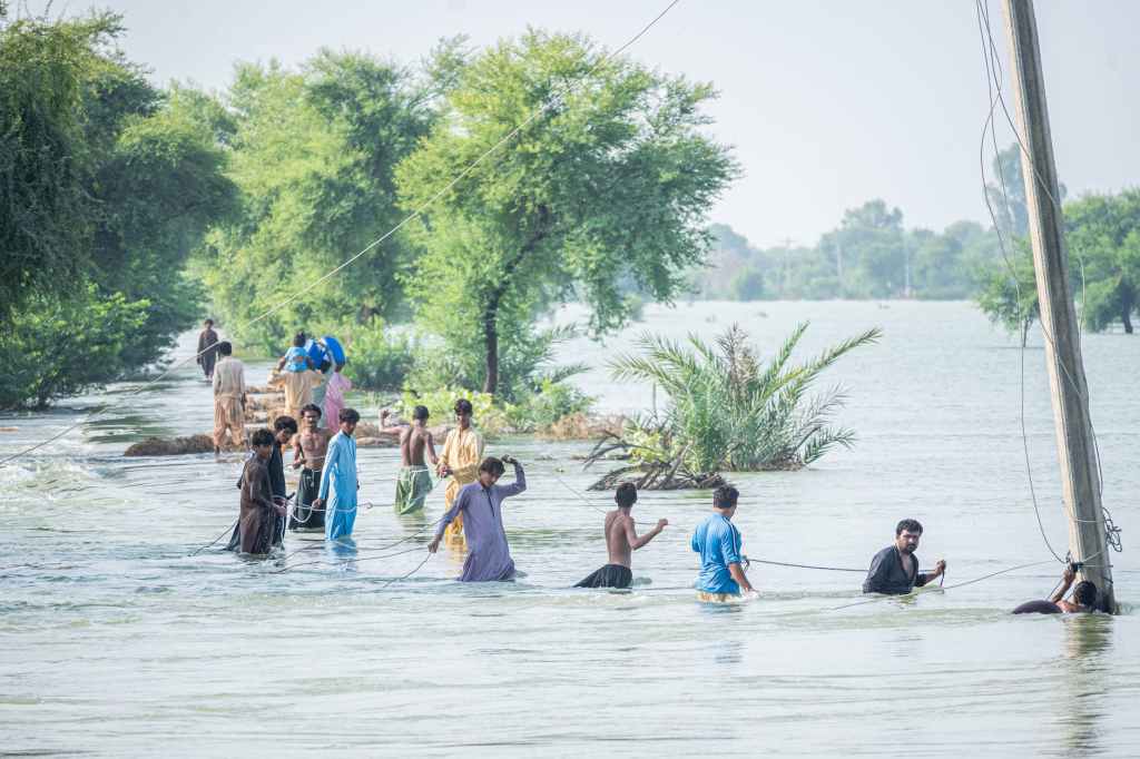
As climate change continues to progress, the frequency and intensity of catastrophic events are on the rise across the world, including the African continent. What were once rare occurrences are now becoming more common, causing widespread devastation. Unfortunately, it is those living in rural areas who bear the brunt of these disasters, often suffering disproportionately…
-
Subscribe
Subscribed
Already have a WordPress.com account? Log in now.
